by Melissa Molseed
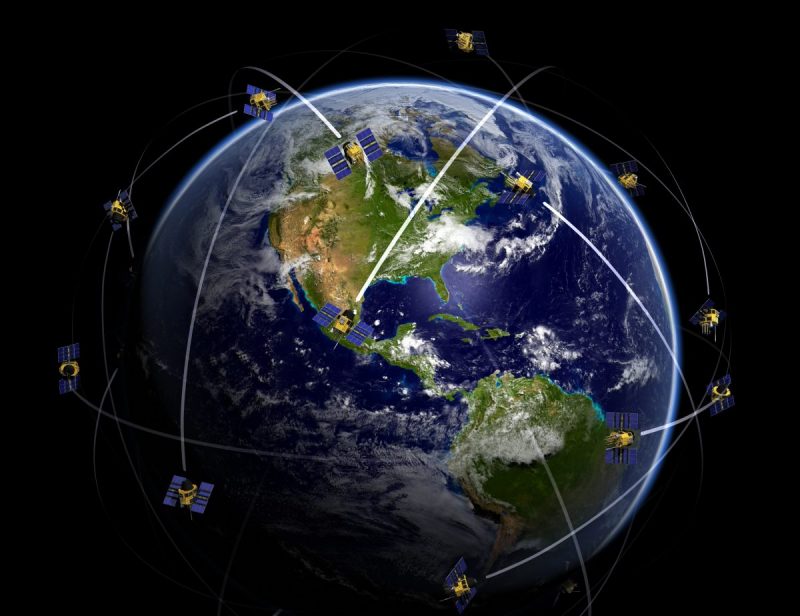
When we think of Earth Observation and the practical applications of satellite imagery, it is safe to say that climate change, mapping services and weather services are usually the first use cases that come to mind. Google Maps has been using satellite imagery in their mapping service since 2005 and the first weather satellite TIROS-1 was launched by NASA in 1960!
However, these are not the sole uses for Earth Observation data; in fact, there are at least 100 different uses for Satellite Imagery and Remote Sensing data. The data is easier to access, the costs associated with accessing this data is more affordable, (free in many cases e.g. the Copernicus programme), and we are seeing more and more innovative ideas for this data across a variety of industries.
One of the applications for satellite imagery that has gained momentum over the past few years is using satellite imagery to track the spread of contagious and non-contagious diseases and viruses. Having recently read a study about how a group of scientists who were able to predict a cholera outbreak using satellite imager, I was suddenly aware of how beneficial the data from satellite imagery could be to the medical and health industry.
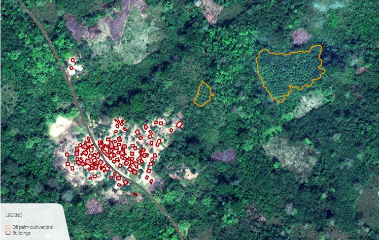 (Epidemiologists identify settlements surrounded by dense tropical forests that are likely to increase human interaction with fruit bats, one of the main vectors of the Ebola virus.Link)
Over the last century, academic and scientific researchers have used satellite imagery to track migration patterns, changes in ground temperature, and precipitation levels to identify areas at risk as well as mapping the spread of diseases and viruses such as Avian Flu, Lyme disease, and Cholera. These studies have had a relative degree of success with it.
In May 2017, a group of scientists, led by Antarpreet Julta, successfully used satellite data to predict an outbreak of Cholera in Yemen. Since October 2016 an outbreak of Cholera, on an unprecedented scale has devastated Yemen, which is a direct result of the Yemeni Civil War. The team created algorithms to process satellite data, which included temperature across the country, precipitation levels, and access to water, to predict which areas were most at risk for an outbreak over the coming month. In June 2017, an epidemic resembling their prediction occurred.
Back in 2009, Xiangming Xiao, PhD Profession & Associate Director at Oklahoma Center for Respiratory and Infectious Diseases, used satellite imagery to track an outbreak of Avian Flu. Using satellite data to track flight patterns of birds and to monitor the outside temperature, Xiao was able to estimate where the birds would migrate to and thus track where the virus was spreading.
One thing in particular that Xiao identified during his research was just how specific the data was in identifying a lineage to the virus, which could also have wonderful implications for the prevention of tick-borne diseases such as Lyme disease. This lineage was identified by combining satellite data with LIDAR and RADAR, which proved just how widely the same set of satellite data could be used in solving a multitude of health problems and diseases to both the human and animal population.
This did not mark the first time that satellite data had been used to identify areas high at risk for the emergence of Lyme disease. Studies from 2003 and 2005 have shown that hyperspectral satellite imagery can be successfully used to identify geographies that are more at risk for Lyme disease and other vector-borne diseases.
With the ease of access to satellite data and a global concern for health and disease prevention, will we begin to see more researchers, organizations, and maybe even pharmaceutical companies harness satellite imagery to its full potential? By combining our current methods of detecting outbreaks, active and passive surveillance, with satellite data, could we potentially see a steady decrease in these types of disease and viruses across the globe?
Will outbreaks of animal viruses such as Swine and Avian Flu decrease, as we better educate ourselves to identify changes in their migrations pattern and environment? We have already seen that the origins of Lyme disease lineage are easily traced using these methods.
Does this mean that in coming years we will see a decrease in the outbreaks of Zika, Yellow Fever and Ebola, which have recently been dominating headlines…
If we can continue to see success, as we have seen in the first few years, with relatively low usage, it is incredible to wonder at what the next ten years and beyond will have for the health and medical industry as a whole when it comes to utilizing satellite data. These studies have demonstrated just how effective Satellite imagery and remote sensing technologies can be to health organizations.
In particular, for forecasting thus enabling us to provide the resources and preventative measures before it gets too late.
 Melissa Molseed is a Space Enthusiast & Recruiter currently living in the Netherlands. When she’s not attending Space socials and tweeting about all things Space, she can be found with a cup of tea or a glass of wine in hand (depending on the time of day), enjoying her new expat life with her boyfriend and dog or brushing up on her Japanese and Dutch! You can follow her on Twitter or her website